




Coral Reef Inspection Using ROV Technology
Coral reef inspection produces several layers of data at once. See what an ROV survey records, how payloads are chosen, and why the record is repeatable.
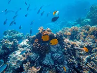
Coral reefs are among the most important natural ecological indicators in marine environments because they are highly sensitive to changes in water temperature, salinity, depth, and other environmental conditions. Found mainly in warm, shallow tropical and subtropical waters, these complex structures provide habitat for around 25% of marine species and play an important role in maintaining marine biodiversity.
Beyond supporting marine life, coral reefs act as natural coastal barriers by dissipating wave energy and helping reduce erosion and the impacts of storms, cyclones, and, in some regions, tsunami waves. However, these ecosystems are increasingly threatened by climate change, overfishing, pollution, and destructive fishing practices.
One of the most visible impacts is coral bleaching, which occurs when thermal stress causes corals to expel their symbiotic algae, zooxanthellae, resulting in the loss of their characteristic colour and potentially leading to coral mortality if the stress persists.
With these pressures increasing, coral reef inspection and monitoring are essential for understanding changes in reef condition and structure. Technologies such as ROVs, high-resolution imaging, positioning systems, environmental sensors, and underwater photogrammetry enable reefs to be documented, measured, and compared over time, supporting more detailed and repeatable reef assessments.
Why inspect coral reefs?
Coral reef inspection is not limited to identifying visible damage. Detailed underwater surveys can establish a baseline of reef condition and document coral formations, including natural and artificial reefs, their physical condition, marine diversity, associated habitats, visible signs of coral bleaching, and physical degradation. The survey can also capture reef morphology, structural characteristics, and the surrounding environmental conditions.
When these observations are recorded consistently across multiple inspection cycles, they can reveal variations in marine diversity, changes in habitat condition, and potential impacts on overall ecosystem integrity, providing a reliable basis for long-term coral reef monitoring.
Why use an ROV for coral reef inspection?
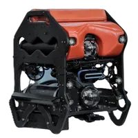
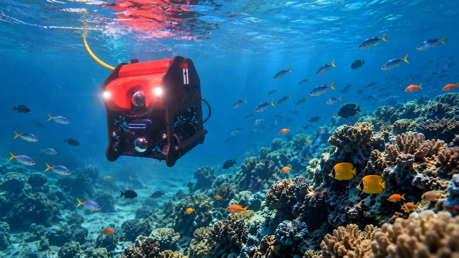
A Remotely Operated Vehicle (ROV) is an underwater robotic platform connected to a surface control station through a tether, allowing operators to control the vehicle in real time while receiving live video and sensor data. ROVs can operate in underwater environments that may be hazardous, difficult to access, or beyond safe and practical operating limits, making them suitable for detailed examination of coral formations and associated habitats in challenging conditions.
An AUV typically operates according to a pre-programmed mission, which limits its ability to make immediate decisions or change the planned survey path based on conditions encountered underwater. An ROV, however, is piloted in real time, allowing the operator to make quick decisions and modify the inspection plan as required during the survey.
Diver-based inspection is applicable where conditions are suitable. Greater depths, extended survey durations, and the need to carry several payloads at once introduce practical limits. An ROV provides a complementary option by operating in deeper or challenging environments and carrying multiple payloads on a single platform.
How does an ROV-based reef inspection work?
The inspection begins with understanding the survey requirements and the underwater environment. The engineering team evaluates factors such as the required inspection depth, survey area, water visibility, underwater currents, positioning accuracy, the type of reef features to be documented, and the environmental and visual data required. Based on these conditions and objectives, the ROV configuration and appropriate payloads are selected to ensure the survey captures the required information effectively.
ROV deployment
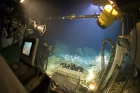
The ROV is deployed at the designated inspection location and connected to the surface control station through its tether. Before the actual deployment, the crew reaches the established control station and carries out a pre-deployment dry check to verify the functionality and readiness of the system.
The pilot operates the vehicle from the control station while monitoring live video and sensor information.
The tether enables continuous communication between the ROV and the surface, supporting emergency response and decision making, and allowing collected data to be transmitted in real time.
ROV payloads for reef inspection
One of the major advantages of an ROV is its ability to integrate different payloads according to the inspection requirement.
Visual record
High-resolution imaging provides the primary visual record of the reef, capturing coral formations, marine organisms, signs of bleaching, physical damage, associated habitats, and other features of ecological interest.
However, underwater imaging presents several challenges, as water absorbs and scatters light, reducing visibility and colour contrast, while suspended particles can further affect image quality. Currents and ROV movement may also introduce motion blur, making appropriate lighting and controlled vehicle movement essential for obtaining clear and usable imagery.
Detection in poor visibility
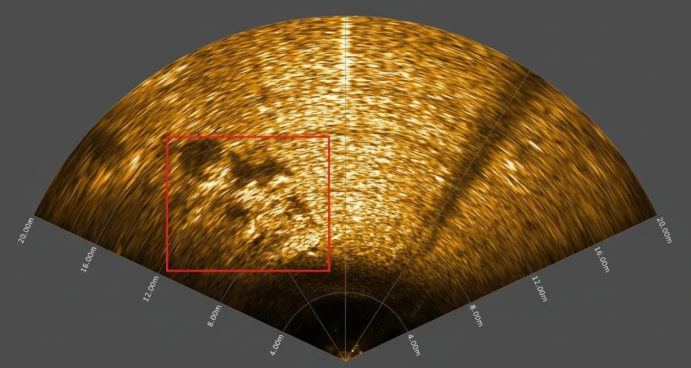
When water visibility is poor, imaging alone may not provide sufficient information. An acoustic payload can help detect and identify underwater structures in turbid or low-visibility conditions.
The payload can help the pilot locate a reef formation or other feature of interest. The ROV can then be guided closer to the identified area for detailed visual examination using the camera. This combination of acoustic detection and optical inspection allows the ROV to continue operating effectively even when visibility is limited.
Measurement reference
A reference scale provides a visual measurement reference within the camera’s field of view.
It can be used to estimate dimensions in 2D. The dimensions of cavities, potholes, cracks, other damaged sections, or any other underwater features can be measured during the inspection. This adds dimensional information to the visual record rather than relying solely on visual estimation.
Positioning
Accurate positioning is important when creating a reliable inspection record.
Positioning payloads can provide information about the ROV’s movement relative to the seabed and can assist with underwater positioning. These systems help associate visual observations with their underwater location and support repeat inspections of the same areas.
Environmental context
Environmental sensors can provide additional context to visual observations. Parameters such as depth and water temperature can be recorded alongside the visual inspection data, helping establish a broader picture of the conditions surrounding the reef.
From ROV footage to 3D reef models
The imagery collected during the survey can be processed using underwater photogrammetry to create a detailed three-dimensional representation of coral formations and associated habitats.
As the ROV moves around the structure, overlapping frames are captured from different viewpoints and processed through a reconstruction workflow that includes adaptive frame extraction, image quality assessment, feature matching, camera position estimation, and 3D reconstruction.
The resulting model captures both the visual appearance and physical geometry of the surveyed reef, enabling digital documentation, measurement of specific features, and comparison with models from future inspections. Compared with individual photographs, a 3D model provides a more comprehensive and measurable representation of complex underwater structures.
Enhanced visualisation of underwater data
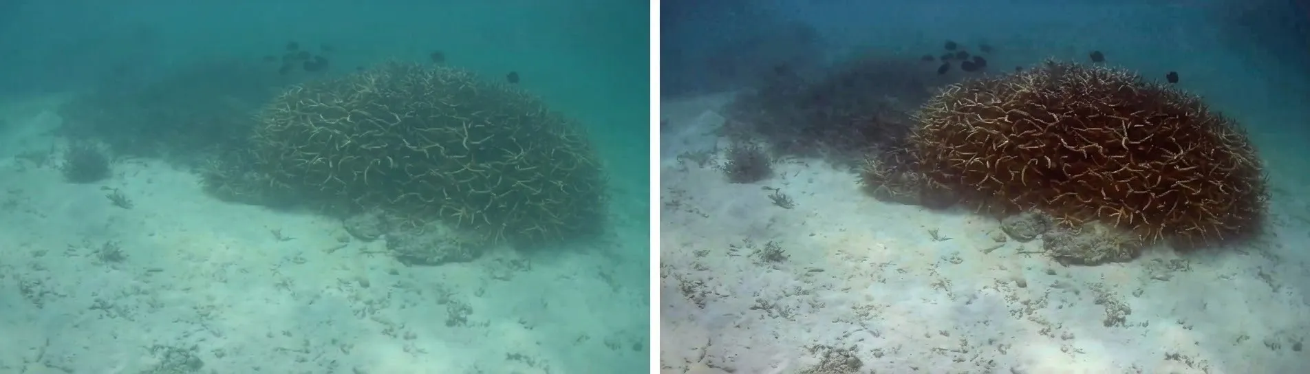
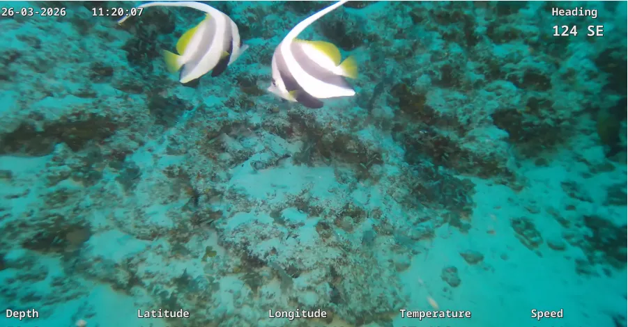
Underwater imagery can often appear dark or hazy, or have reduced colour contrast, due to light absorption, scattering, and suspended particles. Image enhancement techniques can improve the visibility and interpretability of the captured imagery. Geotagging and temperature data can also be attached to the enhanced images, simplifying the presentation and interpretation of the inspection data for the client.
Creating a long-term reef monitoring dataset
One of the key advantages of ROV-based inspection is the ability to create a repeatable digital record of an underwater ecosystem. An initial survey can establish a baseline using ROV positioning, high-resolution imagery, sensor data, underwater photogrammetry, and 3D modelling. Geotagging helps identify and return to the same survey location during future inspections, allowing datasets from different inspection periods to be compared.
This can help identify changes in coral formations, physical degradation, marine diversity, associated habitats, and reef morphology, providing a foundation for monitoring ecosystem integrity and long-term changes in marine ecosystems.
ROVs: extending the reach of underwater inspection
Coral reef inspection demonstrates how an ROV can bring multiple underwater technologies together on a single platform. Its ability to operate in environments that may be beyond safe diver operating limits, combined with real-time piloting and flexible payload integration, enables detailed examination of coral formations and their associated habitats.
From high-resolution imaging and acoustic sensing to positioning, environmental sensors, measurement references, and 3D modelling, each technology contributes a different layer of information.
The result is more than underwater video. It is a combination of visual, spatial, acoustic, and environmental data that can be documented, processed, and compared over time.
By transforming underwater observations into measurable and repeatable digital datasets, ROV technology can support a more comprehensive approach to monitoring marine diversity, reef condition, and ecosystem integrity. The objective is not simply to see what exists beneath the surface, but to document it, measure it, and build a record that can help us understand how it changes over time.